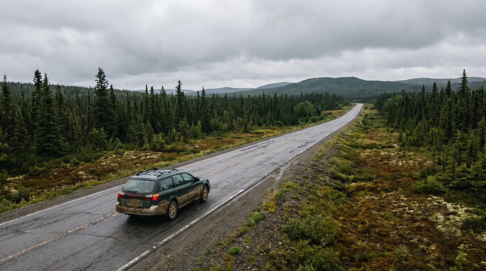
Why most visitors drive
Public transport between regions is limited, and many of the best places, such as trailheads, lighthouses, outport towns and ferry terminals, are only practical to reach by car. Unless you are staying in St. John's or joining a guided tour, plan on renting a vehicle.
Booking a rental car
Rental cars are available at the main airports, including St. John's (YYT), Deer Lake (YDF) and Gander (YQX). A few things to keep in mind:
- Book early for summer. Supply on the island is limited, and cars can sell out in peak season. Reserve as soon as your flights are set.
- One-way rentals. Flying into one airport and out of another can save hours of backtracking, but rental companies may charge a one-way or drop fee. Compare the fee against the driving you save.
- Check the terms. Ask about mileage limits, age requirements and whether gravel roads or ferries are allowed. Rules vary between companies.
- Bringing your own car. If you arrive on the Marine Atlantic ferry from Nova Scotia, you can bring your own vehicle. See getting to Newfoundland.
Distances are bigger than they look
The Trans-Canada Highway (Route 1) crosses the island from Port aux Basques in the south-west to St. John's in the east. The provincial government's approximate driving distances:
| Route | Distance | Driving time |
|---|---|---|
| St. John's to Clarenville | about 185 km | about 2 hours |
| St. John's to Gander | about 335 km | about 3 hours 45 minutes |
| St. John's to Grand Falls-Windsor | about 423 km | about 4 hours 45 minutes |
| St. John's to Deer Lake | about 640 km | about 7 hours |
| St. John's to Port aux Basques | about 902 km | about 9 hours 20 minutes |
| Deer Lake to St. Anthony | about 418 km | about 5 hours |
| St. John's to Argentia | about 86 km | about 1 hour 30 minutes |
These times are for steady driving with no stops. Add time for fuel, food, photos, road work and weather. In practice, a cross-island drive is best split over two days.
The main regions to plan around:
- Avalon: St. John's, Cape Spear and the Witless Bay area are close together.
- Eastern: Trinity and Bonavista are reached via Clarenville.
- Central: Gander is the hub for Twillingate and the Fogo Island ferry. See Fogo Island and Twillingate.
- Western: Deer Lake is the gateway to Gros Morne and the Great Northern Peninsula.
Moose: the biggest hazard
Moose are common across the island, and collisions are a serious risk. A moose is large and tall, so in a collision the body often hits the windshield rather than the bumper. The provincial government's advice includes:
- Avoid driving at dusk, dawn and night where you can. Moose are more often near roads at dusk and dawn, and they are much harder to see in the dark.
- Scan both sides of the road, and ask passengers to help watch.
- Slow down, especially where you see moose warning signs. The province marks high-risk areas with signs.
- Expect moose anywhere. They can appear on any road, at any time of year. Collisions are more common from late spring to fall.
Practical habits that help: plan long drives to finish before dark, use high beams when there is no oncoming traffic, and slow down if you see one moose, as there may be others nearby. To report a moose sighting or collision, the province lists 1-855-896-6673 (1-855-89-MOOSE). In an emergency, call 911.
Speed and road conditions
- The speed limit on the Trans-Canada is generally 100 km/h, and lower on many secondary roads and through communities. Follow the posted signs.
- Secondary roads can be narrow and winding, with sharp curves and steep hills, especially near the coast.
- Fog can reduce visibility quickly on coastal roads.
- Check NL 511 (nl511.ca, the free app, or dial 5-1-1) for road conditions, construction, highway cameras and provincial ferry status.
Fuel and services
Outside the main towns, services can be far apart, particularly on the Great Northern Peninsula, on long rural stretches and in Labrador. Fill up when you can rather than waiting for the warning light. Some rural stations keep shorter hours, especially outside summer. Cell coverage can drop out between communities, so download offline maps before you go.
Winter driving
From late fall to spring, expect snow, freezing rain and strong winds, with conditions that change quickly. If you rent in winter, ask about winter tires, allow much more time, and check NL 511 before every drive. See the best time to visit Newfoundland for what each season brings.
Ferries with a car
If your trip includes a provincial ferry, such as the crossing to Fogo Island, check the schedule and booking arrangements in advance. Ask your rental company whether taking the car on a ferry is allowed. Leave time to line up, and keep a spare day in case of weather cancellations.
Not driving yourself
If you would rather not drive long distances, a guided tour can handle the logistics. Browse tours and guides for operators who run day trips and multi-day itineraries, and lodging for places to break up a long drive.